File:Atlantic Ocean location map.svg

Dimension de iste previsualisation PNG de iste file SVG: 508 × 599 pixels. Altere resolutiones: 203 × 240 pixels | 407 × 480 pixels | 651 × 768 pixels | 868 × 1 024 pixels | 1 737 × 2 048 pixels | 714 × 842 pixels.
File original (File SVG, dimensiones nominal: 714 × 842 pixels, grandor del file: 234 KB)
Summario
| Description |
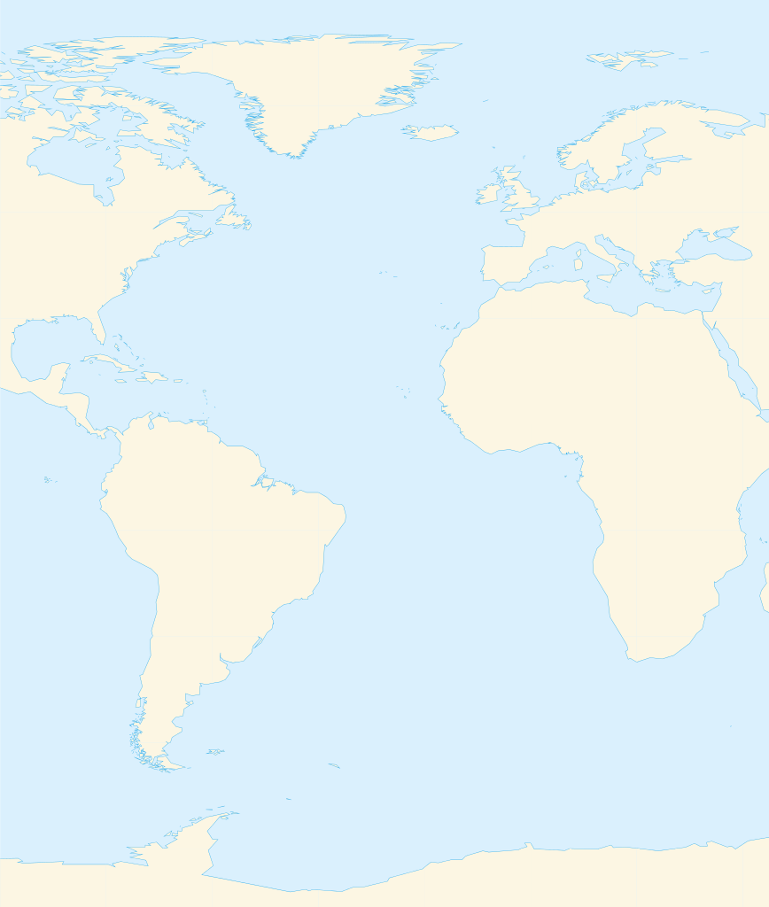
Deutsch: Positionskarte des Atlantischen Ozeans
Quadratische Plattkarte. Geographische Begrenzung der Karte:
English: Location map of the Atlantic Ocean
Equirectangular projection. Geographic limits of the map:
|
| Data | |
| Origine | Obra proprie, Using GMT |
| Autor | Catrin |
| Altere versiones | File:Atlantic Ocean satellite image location map.jpg |
Licentia
Io, titular del derecto de autor sur iste obra, declara de publicar lo sub le sequente licentias:

|
Le permission es concedite de copiar, distribuer e/o modificar iste documento sub le conditiones del Licentia GNU pro Documentation Libere, Version 1.2 o omne version plus recente publicate per le Fundation pro Software Libere; sin Sectiones Invariabile, sin Textos de Copertura Frontal e sin Textos de Copertura Posterior. Un copia del licentia es includite in le section titulate Licentia GNU pro Documentation Libere. |
Iste file es disponibile sub le licentias Creative Commons Attribution-Share Alike 3.0 Unported, 2.5 Generic, 2.0 Generic e 1.0 Generic.
- Tu es libere:
- de condivider – de copiar, distribuer e transmitter le obra
- de remixar – de adaptar le obra
- Sub le sequente conditiones:
- attribution – Tu debe dar information appropriate sur le autor, fornir un ligamine al licentia, e indicar si modificationes ha essite apportate. Tu pote facer lo de qualcunque maniera rationabile, ma non in alcun modo que suggere que le licentiator approba te o tu uso del obra.
- condivider equalmente – Si tu altera, transforma o disveloppa le material, tu debe distribuer tu contributiones sub un licentia identic o compatibile con le original.
Tu pote seliger le licentia de tu preferentia.
Historia del file
Clicca sur un data/hora pro vider le file como appareva a ille tempore.
| Data/Hora | Miniatura | Dimensiones | Usator | Commento | |
|---|---|---|---|---|---|
| actual | 14:39, 19 martio 2010 | | 714 × 842 (234 KB) | Catrin | Replacing broken Version |
| 14:34, 19 martio 2010 | Nulle miniatura | (126 bytes) | Catrin | {{Information |Description={{de|Positionskarte des Atlantischen Ozeans}} Quadratische Plattkarte. Geographische Begrenzung der Karte: * N: 90° N * S: 81° S * W: 100° W * O: 45° O {{en|Location map of the [[:en:Atlantic Ocean |
Uso de iste file
Le sequente pagina usa iste file:
Uso global de iste file
Le altere wikis sequente usa iste imagine:
- Uso in ar.wikipedia.org
- ألمانيا
- موريتانيا
- فرنسا
- الصحراء الغربية
- أنغولا
- بلجيكا
- آيسلندا
- إسبانيا
- السنغال
- غامبيا
- غينيا بيساو
- غينيا
- سيراليون
- ليبيريا
- غانا
- توغو
- بنين
- الغابون
- ساحل العاج
- السويد
- البرتغال
- البرازيل
- كندا
- الكاميرون
- الأرجنتين
- جمهورية الكونغو الديمقراطية
- المملكة المتحدة
- جمهورية الكونغو
- ساو تومي وبرينسيب
- ناميبيا
- جمهورية أيرلندا
- الرأس الأخضر
- سورينام
- غيانا
- غينيا الاستوائية
- الجمهورية العربية الصحراوية الديمقراطية
- جرينلاند
- المغرب
- سكان الجمهورية العربية الصحراوية الديمقراطية
- قالب:البلدان والأقاليم المتاخمة للمحيط الأطلسي
- ليبورني
- سفيلاند
- نارك
- فاستمانلاند
- جيش التحرير الشعبي الصحراوي
- Uso in de.wikipedia.org
- Uso in fr.wikipedia.org
Vider altere usos global de iste file.